Farmington Canal HeritageTrail
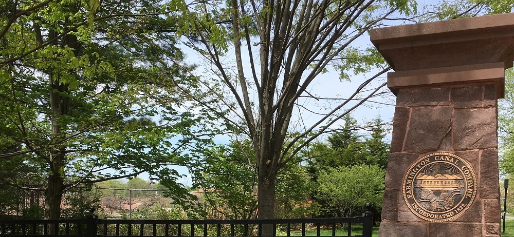
The Farmington Canal Linear Park is a multi-use recreational trail that traces the path of the historic Farmington Canal, which once served as a key 19th-century trade route. Spanning 81.2 miles from New Haven, Connecticut, to Northampton, Massachusetts, the trail has been thoughtfully transformed into a vibrant corridor for public use, offering a mix of urban and rural scenery, outdoor recreation, and historic remnants like canal locks and stone bridges.
As of May 2025, approximately 63 miles of the trail are open to the public:
- Connecticut Portion: 56.5 miles planned, ~45.8 miles completed
- Massachusetts Portion: 24.7 miles planned, ~17.2 miles completed
Recent Additions
In 2025, New Haven completed Phase IV of its segment, a 1.6-mile stretch from Temple Street to Long Wharf Drive. This $12 million upgrade includes a tunnel beneath Temple Street and Whitney Avenue, connecting the trail more directly to the harbor and providing safer, uninterrupted access through downtown.
Trail Use and Access
- Permitted Activities: Walking, jogging, cycling, rollerblading, wheelchair and stroller access
- Dogs: Allowed on leash; owners must clean up waste
- Prohibited: All motorized vehicles
Directions and Parking
- Hamden Access: Via Route 10 (Dixwell/Whitney Avenue)
- Parking: Sherman Avenue, Todd Street, Brooksvale Park (Brooksvale Ave)
- New Haven Access: Metered street parking near Prospect Place
Significance and Experience
This paved greenway is part of the East Coast Greenway, linking neighborhoods, parks, and commercial centers. It offers a window into the region’s industrial history, with interpretive signage and preserved canal structures enriching the recreational experience.
Remaining Gaps
Key trail gaps remain, particularly in Plainville and Southington, but efforts are ongoing to fully connect the route. Once completed, the Farmington Canal Trail will form a continuous, non-motorized corridor across multiple counties and states.

524 Brooksvale Ave, Rear Hamden, CT 06518, USA

203-287-2579
